
Wildfire Smoke from Canada Set to Impact US Air Quality

Wildfire Smoke Forecast
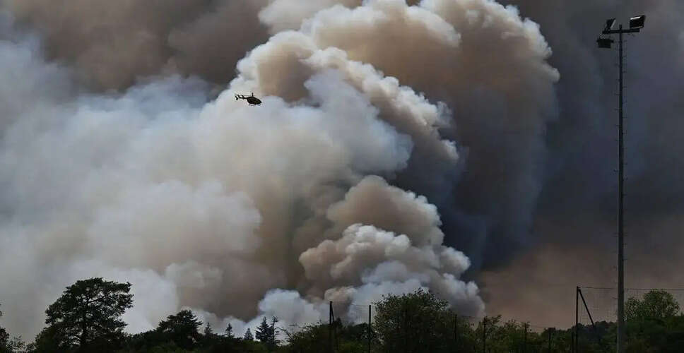
Over 800 wildfires raging in Canada are anticipated to send smoke into various regions of the United States this week, prompting warnings about declining air quality for millions in the Upper Midwest and Northeast. Significant fires are currently consuming dense forests in west-central Ontario, where a heatwave has driven temperatures above 100°F. The smoke generated is expected to drift southward as wind patterns change.
Additionally, there are numerous wildfires in northern Minnesota, close to the Canadian border. Meteorologists predict that winds will start carrying the dense smoke into the U.S. by Tuesday night, with air quality likely becoming hazardous in parts of the Upper Midwest and Northeast by Wednesday. By Wednesday evening, the smoke is projected to pass through cities like Green Bay, Milwaukee, Grand Rapids, Detroit, and Buffalo, eventually reaching New York City and Providence, Rhode Island. Although conditions in New York are not expected to mirror the severe smoke event of June 2023, hazy skies and unhealthy air quality levels are anticipated.
Smell smoke this morning? Its coming from a wildfire outbreak in Ontario. While it should not impact air quality much today, smoke at the surface could increase Wednesday into Thursday, potentially reducing visibilities and air quality. High temperatures may also be limited. pic.twitter.com/6QdV5965nt
— NWS New York NY (@NWSNewYorkNY) July 14, 2026
On Tuesday afternoon, smoke from the Ontario wildfires began to drift over parts of Philadelphia, although it remained at higher altitudes. An air quality alert has been issued for certain areas in New Jersey due to increased ozone levels. Meteorologists indicate that smoke from the Canadian fires, located approximately 1,100 miles away, is expected to lower to the surface from Wednesday night into Thursday, worsening air quality in the region.
This smoke arrives as the area faces another wave of extreme heat, with temperatures projected to surpass 90°F (32°C) on Tuesday and parts of the Interstate 95 corridor potentially hitting 100°F (38°C) on Wednesday. High humidity levels are expected to make it feel like around 110°F (43°C), marking Wednesday as the peak of the heatwave. Most regions are likely to remain dry, although a cold front could bring isolated afternoon or evening showers and thunderstorms to the Poconos and Lehigh Valley. Temperatures are expected to stay in the upper 90s on Thursday before slightly decreasing on Friday as humidity levels drop. Showers and thunderstorms are predicted to return over the weekend, bringing temperatures back into the 80s°F (around 27-31°C), along with the potential for heavy rain and strong storms.