
Satellite Images Reveal Ground Shifts After Major Earthquake in Venezuela

Significant Ground Movement Detected
Recent satellite imagery following a devastating earthquake in Venezuela has astonished scientists. Data collected from the NISAR (NASA-ISRO Synthetic Aperture Radar) mission, a collaboration between India's space agency and its American counterpart, indicates that the earthquake caused the ground to shift by nearly 60 centimeters (approximately 2 feet) in certain areas. This significant alteration has transformed the landscape in multiple locations.
According to researchers, this earthquake occurred after two powerful tremors struck northern Venezuela on June 24. The most severe impacts were felt around the capital, Caracas, and the coastal city of La Guaira. The NISAR satellite compared radar images taken before and after the earthquake, revealing that the ground had shifted east-west by about 60 centimeters in several regions.
One of the standout features of the NISAR satellite is its InSAR (Interferometric Synthetic Aperture Radar) technology, which can measure minute changes in the Earth's surface even in adverse weather conditions or darkness. Scientists analyzed radar images from June 13 and 18, prior to the earthquake, and from June 25 and 30, afterward, to create an accurate map of the ground displacement.
Experts noted that this was the first instance where NISAR's Urgent Response System was utilized to assess ground changes following a major earthquake with such speed and detail. The data gathered has provided insights into the pressure exerted on fault lines and the direction of ground movement, aiding in better risk assessment for future earthquakes and enhancing the planning of relief and rescue operations.
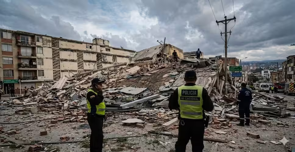
The earthquake inflicted substantial damage to buildings, roads, and infrastructure. International reports suggest that this disaster has cost Venezuela billions of dollars and affected thousands of individuals. Reconstruction efforts in the impacted areas are still ongoing.
This incident underscores that modern satellite technology extends beyond space exploration; it plays a crucial role in monitoring natural disasters, assessing damage, and preparing for future events. The NISAR mission by ISRO and NASA is anticipated to become a vital scientific tool for monitoring earthquakes, landslides, floods, and other natural calamities worldwide.