
ISRO Delivers 33 Flood Inundation Maps to Assam for Enhanced Disaster Management

ISRO's Contribution to Flood Management in Assam
Flood inundation maps provide near real-time and historical data on flood-prone areas
New Delhi, Aug 6: The Indian Space Research Organisation (ISRO) has supplied 33 flood inundation maps along with value-added products to the Assam State Disaster Management Authority as of July 28 during this monsoon season, as reported by Union Minister Jitendra Singh on Wednesday.
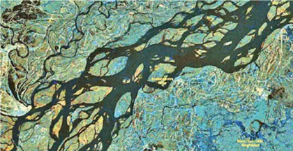
These flood inundation maps offer both near real-time and historical insights into areas susceptible to flooding, aiding in the planning and regulation of development activities in flood-prone regions, as well as facilitating rescue and relief efforts.
In a written statement to the Lok Sabha, the Minister explained that these maps and products were generated using Synthetic Aperture Radar (SAR) and optical satellite data via the National Database for Emergency Management (NDEM).
SAR data provides images that can be captured in any weather condition and at any time, while optical data consists of high-resolution images taken during clear weather.
ISRO's initiative to provide flood inundation maps is part of a broader effort to enhance district-level flood information and improve the efficiency of rescue and relief operations in Assam, Singh noted.
Additional initiatives include leveraging globally accessible satellite data, developing semi-automated sensor-specific data processing algorithms, and creating flood mapping workflows, along with generating district-level flood reports.
“The spatial flood inundation data is accessible on the NDEM portal, allowing for visualization at both district and sub-district levels. High-resolution satellite imagery is utilized to evaluate flood damage at the district level, contingent on the availability of cloud-free satellite data,” the Minister added.