
India Officially Recognizes 27 Locations in Arunachal Pradesh Amidst China's Name Changes

India's Response to China's Name Changes in Arunachal Pradesh
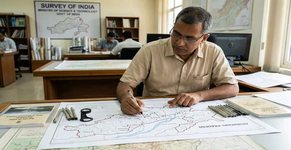
New Delhi, August 7 - In response to China's repeated alterations of place names in Arunachal Pradesh, India has officially incorporated the standard names of 27 locations and their geographical features into its national map. An official statement highlighted that the aim of marking these locations on the Arunachal Pradesh map by the Survey of India is to facilitate accurate identification and enhance public awareness.
India has consistently rejected China's attempts to rename places in Arunachal Pradesh, labeling such actions as 'meaningless and absurd.' The Indian government asserts that these efforts cannot alter the 'immutable' truth that Arunachal Pradesh has always been an integral part of India.
Among the 27 locations included in India's official map is Longju, situated near the Line of Actual Control (LAC). This area was one of the initial conflict zones between India and China in 1959 when the Chinese military entered the region. The statement also noted that the village of Maja, located near Longju in the Upper Subansiri district, has been marked on the map. Additionally, the strategically significant mountain passes of Dzong La, Riza La, and Pukur La, along with the village of Bissa, are part of this list.
Thag La, one of the critically important high-altitude passes, has also been formally included in the official map. This area was the site of early conflicts during the 1962 war between India and China. Jairampur, a vital logistics hub in Changlang district, is also part of this recognition, serving as a gateway to the eastern border region and playing a crucial role in the movement of security forces towards the eastern Arunachal Pradesh and Myanmar border.
The list further includes Shambhu Sarovar, Bada Kundun, and Chhota Kundun, located in eastern Arunachal Pradesh. Other notable inclusions are Dhan Badi, Preetnagar, Teritnagar, Ramnagar on Tawang Road (home to the memorial of Indian martyr Jaswant Singh Rawat), Sagar, Padma, Jyotinagar, and Baisakhi villages. The Sher-e-Thapa memorial, established in honor of 1962 war hero Trilok Singh Thapa, along with Chhota Ropuk, Bada Ropuk, Shivaji Nagar, Sunpura, Kamlang Nagar near Kamlang Sanctuary, and a Buddhist temple are also recognized.
India has consistently dismissed China's attempts to assign 'fictional names' to Indian territories. The Indian government maintains that such baseless discourse cannot change the 'immutable truth' and may hinder efforts to normalize relations between the two nations. In 2017, China's Ministry of Civil Affairs released the first list of standardized names for six locations in Zangnan, followed by a second list of 15 names in 2021 and a third list of 11 names in 2023.
China refers to Arunachal Pradesh as Zangnan.