
India Asserts Territorial Integrity in UN Map Resolution

India's Stance on UN Map Representation
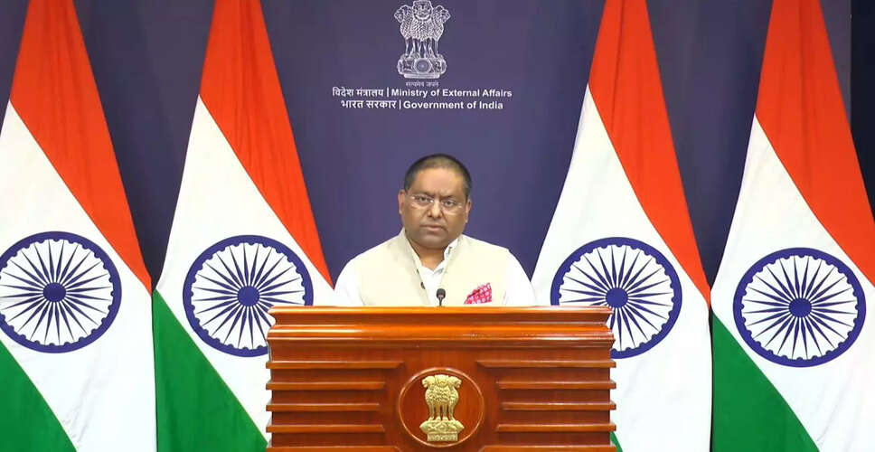
File image of Ministry of External Affairs spokesperson, Randhir Jaiswal. (Photo:@airnewsalerts/X)
New Delhi, Sep 6: On Sunday, India emphasized that any world map proposed by the United Nations must accurately represent the Union Territories of Jammu and Kashmir and Ladakh, aligning with India's official cartography. The country firmly stated that any representation deemed "inaccurate" or "misleading" would not be tolerated.
Randhir Jaiswal, spokesperson for the External Affairs Ministry, clarified that India's vote in favor of the resolution does not imply endorsement of any specific map or depiction of national borders.
He stated, "India voted in favor of the resolution and provided an explanation of its vote, highlighting the importance of equal-area cartographic representation." This response was given in light of media inquiries regarding the matter.
Jaiswal reiterated, "India's sovereign territory, including Jammu and Kashmir and Ladakh, must be represented according to our official map. Any misleading or inaccurate representation is unacceptable."
He further noted that India's position on sovereignty and territorial integrity remains clear, consistent, and non-negotiable.
According to Jaiswal, the UN resolution aims to promote the use of equal-area map projections that accurately reflect the relative sizes of landmasses across continents.
He added, "The resolution does not adopt or authenticate any specific world map, nor does it address political cartography, including international borders, disputed territories, or place names."
This assertion from New Delhi follows its support for a UN General Assembly resolution aimed at enhancing the accuracy of world maps to better represent continental landmasses.
The resolution, titled "Correct the Map: Rebalancing Global Cartographic Representation and Promoting Equitable Representation of the World's Regions, Particularly Africa," was adopted on September 4. Sponsored by Togo, it garnered 164 votes in favor, with abstentions from Estonia, Georgia, Lithuania, Moldova, Serbia, and Ukraine, while the United States cast the only dissenting vote.