
Concerns Arise Over Stability of China's Major Hydropower Project on Brahmaputra

Geological Study Raises Alarm
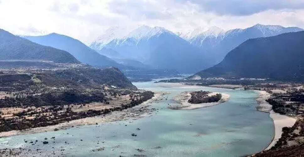
A file image of Yarlung Tsangpo, the upper course of the Brahmaputra, in China. (Photo:@AmbSanjay_/X)
Beijing, July 13: Recent research conducted by geologists in China has revealed that an active fault line located beneath the largest hydropower project on the Brahmaputra River in Tibet poses potential risks to its structural integrity. This raises doubts about Beijing's assertions that the project will mitigate regional disasters. The site is situated near the Indian border in Arunachal Pradesh.
The scientists indicated that a fracture in the Earth's crust within the eastern Himalayas could severely compromise the infrastructure of this extensive hydropower initiative, as reported by the South China Morning Post.
In a study published last month in the Chinese-language journal Sedimentary Geology and Tethyan Geology, the researchers highlighted that the Paizhen Fault, which has been notably active since the Ice Age, "will significantly influence the structural stability and construction of nearby infrastructures, including dams, roads, bridges, and tunnels, as well as the reservoir area".
This research was overseen by the state-run China Geological Survey. The findings suggest that ongoing fault activity has fractured and weakened the surrounding rock formations, increasing the vulnerability of nearby engineering projects to potential damage.
According to the study, "The Paizhen area is located within the reservoir area of the Yarlung Tsangpo downstream hydropower station," with China referring to the Brahmaputra as the Yarlung Tsangpo. Construction of the USD 167.8 billion dam commenced in July 2023, with expectations to generate over 300 billion kWh of electricity annually, sufficient to meet the power demands of more than 300 million individuals.
The dam is being constructed in a significant gorge in the Himalayas, where the Brahmaputra makes a sharp U-turn before flowing into Arunachal Pradesh and subsequently Bangladesh. Despite facing considerable engineering challenges due to its location along a tectonic plate boundary that is prone to frequent earthquakes, China has proceeded with the project. The Tibetan Plateau, often referred to as the 'roof of the world', is susceptible to periodic seismic activity due to tectonic plate movements.
The researchers pointed to the magnitude 6.9 earthquake that occurred in Milin, Tibet, in 2017, near the northern end of the fault, as evidence of its ongoing seismic activity. They warned that under regional seismic conditions, landslides and collapses could easily occur, jeopardizing the safety of engineering facilities and personnel.
The latest findings heighten concerns regarding the project's structural safety, prompting researchers to recommend that engineers reinforce vulnerable slopes and implement retaining structures to mitigate the risks of landslides and collapses. Nevertheless, China has consistently attempted to reassure the public about the project's safety, asserting that it adheres to the highest industry standards and will aid in disaster prevention in the region. An official statement released in December 2024 emphasized that the hydropower project is safe and prioritizes ecological protection.