
China's Major Hydropower Project Faces Geological Challenges
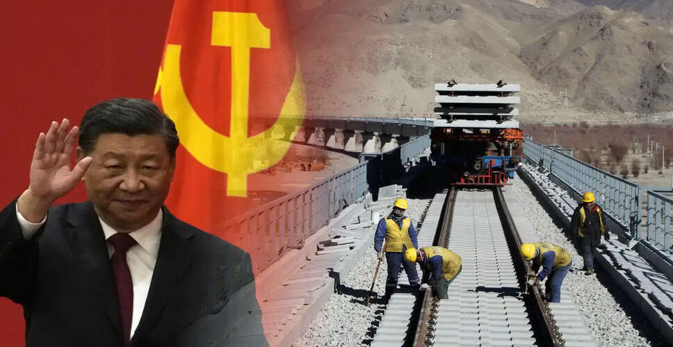

New Geological Concerns for China's Hydropower Ambitions
The ambitious initiative by China to develop the largest hydropower project globally on the Yarlung Tsangpo River is now under increased scrutiny. This follows the discovery of an active fault line within the proposed construction area, as reported by researchers from China's geological institutions. Officially initiated in July 2025 in Tibet, this project is one of the most significant infrastructure undertakings in China's history, with an estimated investment of 1.2 trillion yuan (around US$168 billion). The plan includes a series of five interconnected hydropower stations aimed at producing substantial renewable energy and enhancing infrastructure in western China. However, recent geological insights indicate that the engineering challenges may be more complex than previously thought.
Active Fault Identified by Chinese Researchers
China's Own Researchers Flag Active Fault
A study released in June 2026 in the journal Sedimentary Geology and Tethyan Geology, overseen by the China Geological Survey, has pinpointed the Paizhen Fault as an active geological feature that intersects the project area. The research indicates that this fault has been active since the Pleistocene epoch, with evidence of repeated movements over time. The researchers cautioned that the activity of the fault has compromised surrounding rock formations, leading to loose structures and weak cohesion, which heightens the risks associated with large-scale engineering projects such as tunnels, reservoirs, and power infrastructure. This warning comes from China's own scientific community, contrasting with many external critiques of the project.
Significance of the Fault's Activity
Why The Fault Matters
The hydropower complex is situated near the Eastern Himalayan Syntaxis, a region known for its tectonic activity due to the ongoing collision between the Indian and Eurasian plates. This area is characterized by high tectonic stress, steep mountainous terrain, frequent landslides, and active seismic movements. Researchers have expressed concerns that the immense weight of the reservoir water, coupled with water infiltration into fractured rock, could elevate pore-water pressure, leading to slope destabilization around the reservoirs. The study advocates for ongoing geological monitoring and robust slope reinforcement during construction and subsequent operations.
Historical Seismic Activity in the Region
Region Has Long History Of Powerful Earthquakes
The seismic risks are underscored by the region's history of significant earthquakes, including:
- 1950 Assam-Tibet earthquake (Magnitude 8.6), one of the strongest recorded.
- 2017 Milin earthquake (Magnitude 6.9).
- January 7, 2025 Tibet earthquake (Magnitude 6.8), which resulted in over 100 fatalities and damage to several reservoirs.
While these earthquakes did not directly impact the project site, they highlight the intense seismic activity in the eastern Himalayas. In addition to earthquake risks, researchers have identified several potential cascading hazards. The Yarlung Tsangpo Grand Canyon is already susceptible to large landslides, and a significant slope failure into a reservoir could create displacement waves that might overtop dam structures.
Risks of Cascade Failures
Cascade Failure Risk and Reduced Warning Time
Given that the project comprises five interconnected hydropower stations, a failure at one upstream reservoir could lead to a rapid transfer of large volumes of water downstream. Such a cascading failure could exert immense pressure on lower dams, significantly raising the risk of flooding in downstream areas. The steep and narrow valleys of the Himalayas provide limited time for communities downstream to react in the event of a dam breach or uncontrolled water release.
Implications for Neighboring Countries
Potential Implications For India And Bangladesh
The Yarlung Tsangpo transforms into the Siang River upon entering Arunachal Pradesh, eventually merging with the Brahmaputra in Assam and flowing into Bangladesh. Any significant disruption—whether due to altered river flows, emergency water releases, or catastrophic failures—could impact millions downstream. Experts have raised concerns about dry-season river flows, sudden flood releases, water security, and disaster preparedness, emphasizing the need for better basin-wide data sharing. Both India and Bangladesh have consistently called for increased transparency regarding upstream hydrological developments.
Need for Greater Transparency
Transparency Remains A Key Issue
Despite the strategic importance of the project, several critical assessments remain undisclosed to the public. These include:
- Dam-break modeling
- Detailed seismic hazard evaluations
- Emergency response strategies
- Real-time hydrological data-sharing systems
Researchers argue that infrastructure of this magnitude, especially on an international river system, necessitates enhanced transparency due to the potential cross-border implications. Beyond its role in electricity generation, the Brahmaputra project holds strategic significance. The Yarlung Tsangpo flows through areas near the Line of Actual Control (LAC), making any major infrastructure project in this region relevant to broader India-China relations. While Beijing asserts that the project aims to generate clean energy and promote regional development, its location on a transboundary river continues to draw scrutiny from downstream nations concerned about long-term water security and emergency management.